
To the north, the division is made by the limits of Odeceixe parish; the source, the division is made by the limits of Odeceixe parish; south, between the Atlantic Ocean and the national road No 120, is bounded by the cadastral sections AL and AJ; on the national road No 120, near the Mount of Grass Onion, bends south along this road to the vicinity of Old Town Village, more properly to the point 116, after bending to the east along the extreme of property of Windy Valley or Breezy Point, flexing then north toward the point 74 (Valley Lambs), connecting to the path that runs through the property mentioned above and thence along this path to the east, passing through Mount Carrascal to stream of Arreiro (paragraph 32); flexes then north always along the riverside to the near point 73, at the place where the stream crosses the path that connects the Mount of hoods to the municipal Carrascalinho road; at this point then follows the path of said path, passing by the place of Saiceira (point 95), place of Monte Velho, continuing at point 133, after flexing slightly north along the way across the Vine Valley Barranco, north of place of Long Swamp to the junction with the road between the place of Saiçoso the location of Mount Figueiras; this bends crossing south, passing through the point 163 to the place of Saiçoso, ie, the rising edge of the parish, doing extreme with Odeceixe parish of Aljezur municipality; to the west, the Atlantic Ocean, from the southern boundary of the parish of Odeceixe (Barranco de Maria Vinagre) to the extent 58 south of Mount Carriagem.
Rogil has two beaches:
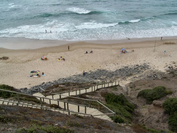
Vale dos Homens Beach
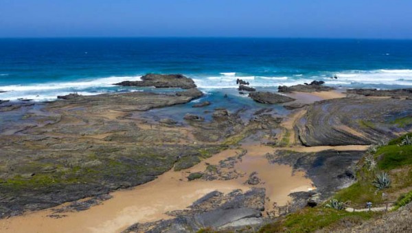
Carriagem Beach
The coastline of the parish is part of the Natural Park of Southwest Alentejo and Costa Vicentina.

Comments are closed.